Portsmouth - Rockin' Through The Years & PWRS
Virginia, United States — 2.4 km
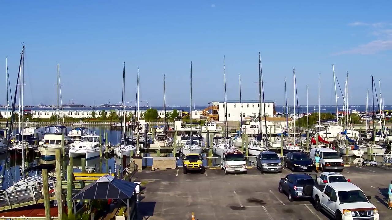
Norfolk - Waterfront
🇺🇸 Virginia · United States — Altitude 3 m
This live stream looks out over the Norfolk waterfront in Virginia, where the city meets the harbor and the wide water of Hampton Roads. It is useful for a quick look at the water and sky before you head out, or simply to watch ships and weather move through the port area. The page also shows the local time and the forecast for the next three days.
Norfolk is an independent city in southeastern Virginia, on the Elizabeth River where it opens into Chesapeake Bay and the Atlantic. It is one of the largest naval and commercial port areas on the East Coast, and the working harbor shapes the character of the downtown shoreline. The landscape is flat and low, so the sky and the water usually dominate the view.
The view is shaped by the water, so the most rewarding moments are often early morning, when the light is soft over the harbor, and late afternoon, when the sun sits lower and colours the water. Changes in cloud cover and wind are easy to follow on the water surface. Depending on the framing, you may also see boats moving along the channel. Check the live weather on this page before you watch for rain or fog.
Norfolk has a humid subtropical climate with hot, humid summers and mild winters. Late spring and early autumn are generally the most comfortable times to visit the waterfront. The Virginia Beach oceanfront and the Portsmouth shoreline are both within easy driving distance, and the nearby cameras listed on this page show some of those areas.
Source: surfchex.com
Virginia, United States — 2.4 km
Virginia, United States — 28 km
Virginia, United States — 28 km

Virginia, United States — 34 km
Virginia, United States — 37 km
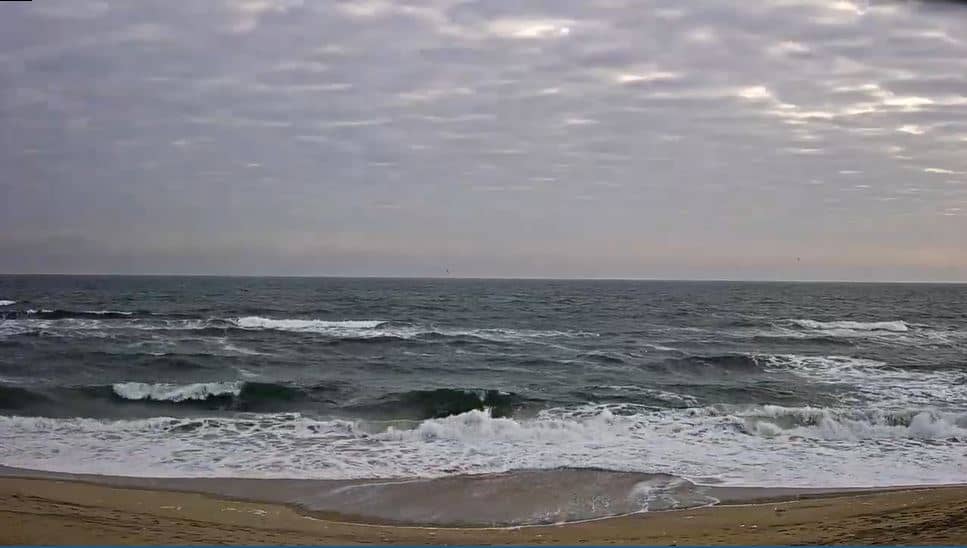
North Carolina, United States — 67 km
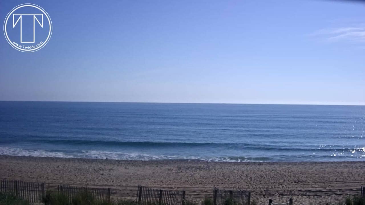
North Carolina, United States — 98 km
Virginia, United States — 100 km
North Carolina, United States — 102 km
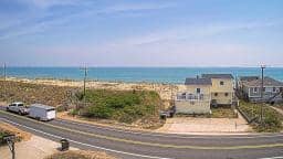
North Carolina, United States — 102 km
The current conditions and the three-day forecast for Norfolk are shown in the live weather block on this page, updated automatically for the location.
The local time for Norfolk, Virginia, is displayed on this page. It follows the Eastern time zone used along the East Coast of the United States.
The camera is on the Norfolk waterfront in southeastern Virginia, close to the Elizabeth River and the harbor. The map on this page marks its position.
Early morning and late afternoon usually give the softest light over the water. Check the live weather first, since fog or heavy rain can reduce visibility.
Partner links: we may earn a commission at no extra cost to you.