Thingvellir
Southern Region, Iceland — 0.1 km
Thingvellir - Belvédère de Hakið, faille d'Almannagjá et lac Þingvallavatn
🇮🇸 Southern Region · Iceland — Altitude 140 m
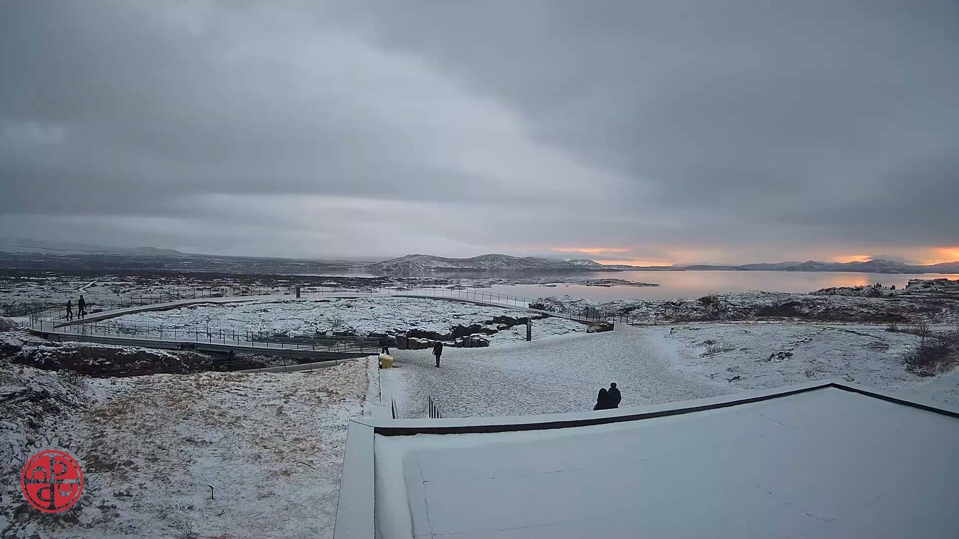
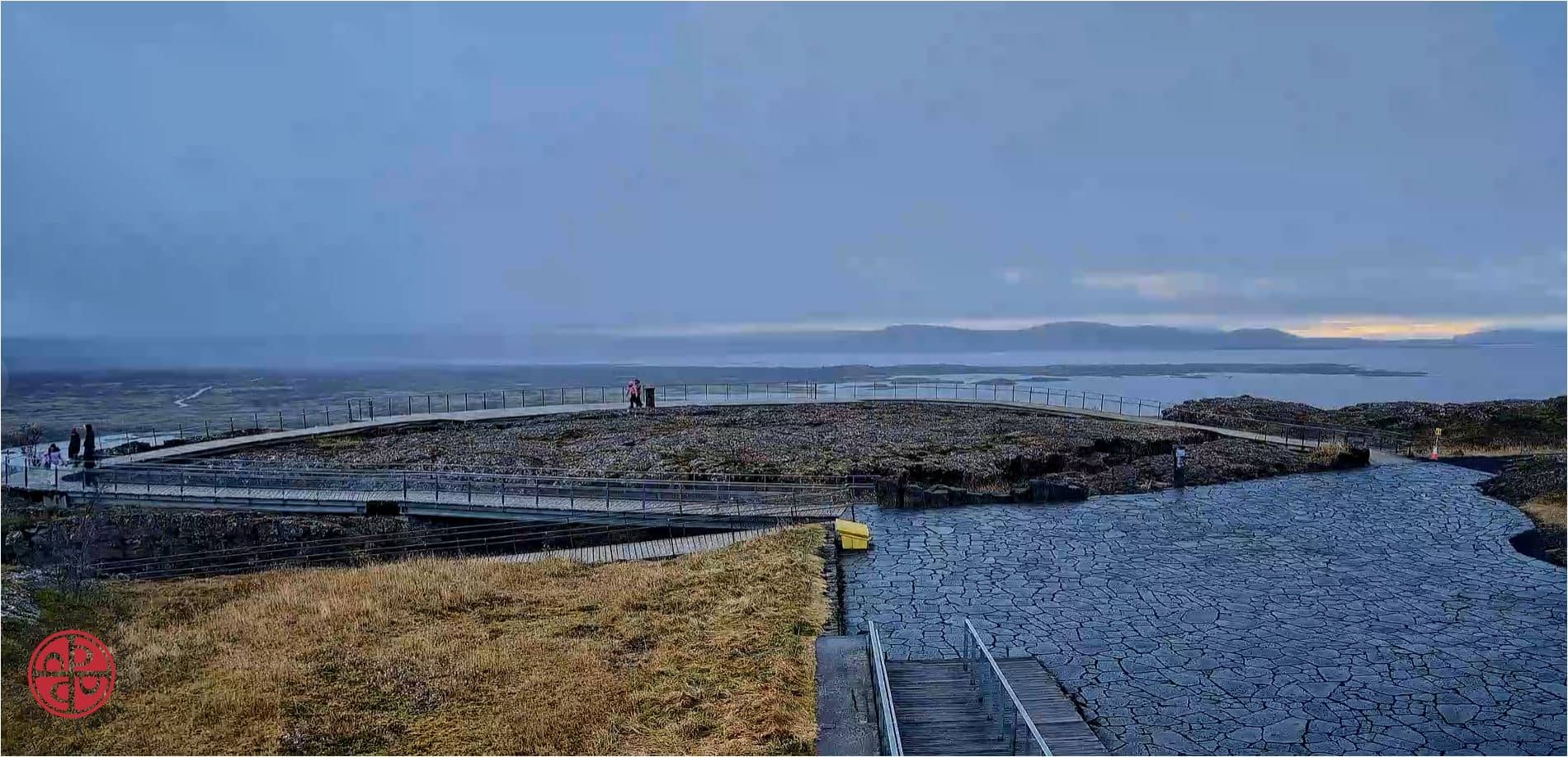
This camera looks out from the Hakið viewpoint over the Almannagjá rift and the Þingvallavatn lake in Thingvellir National Park. It is a good way to see how the landscape looks before planning a trip along the Golden Circle. Conditions change quickly here, so the live feed is worth a look.
Thingvellir sits where the North American and Eurasian tectonic plates pull apart, and the park is known for its deep fissures, lava fields and clear lake. It is also a place of historical importance, as the site of Iceland's medieval parliament, the Althing, held here for centuries. The view from the viewpoint is dominated by the steep wall of the Almannagjá rift and the wide, cold water of Þingvallavatn, Iceland's largest natural lake. So much of the setting comes from geology, and the scale of it is easy to underestimate until you stand above it.
The picture is a live stream from a fixed position, so what you see depends on the view at that moment. Depending on the light, you may notice the lake surface changing from calm mirror to choppy grey, and the rock walls shifting colour with cloud and low sun. Early mornings and late evenings often bring the most dramatic light, while summer days stay bright for long hours. Winter can bring snow and ice across the rift, which is worth watching for. The feed is not a guarantee of any particular condition, so check the weather block on this page as well.
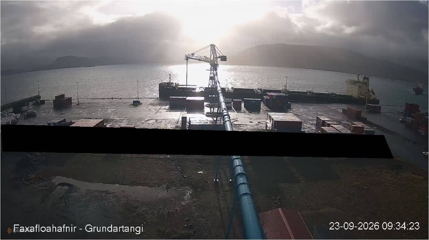
Thingvellir is about an hour's drive east of Reykjavík and is one of the most visited stops on the Golden Circle route. Summer is the easiest season for walking the rift paths, while winter roads can be icy and daylight is short. Nearby cameras on this site include views at Grundartangi on Hvalfjörður, the Selfoss area and Reykjavík's Kleppsbakki, which help you compare conditions across southwest Iceland before you set out. Weather in Iceland changes fast, so check the live forecast before you go.
Source: Parc national de Þingvellir
Southern Region, Iceland — 0.1 km
Western Iceland, Iceland — 33 km

Southern Region, Iceland — 36 km
Capital Region, Iceland — 37 km
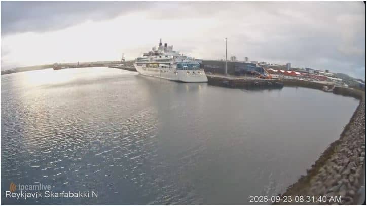
Capital Region, Iceland — 37 km
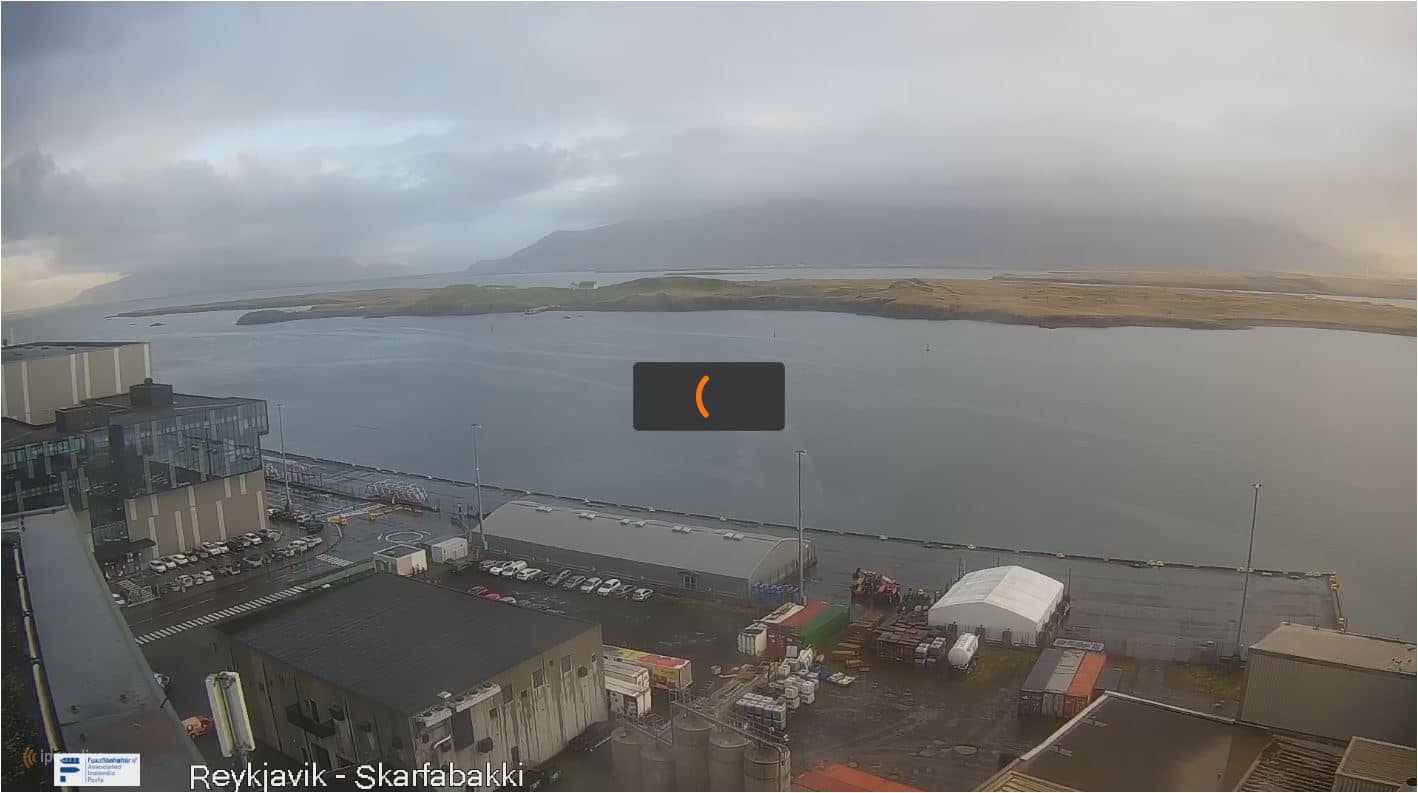
Capital Region, Iceland — 37 km
Capital Region, Iceland — 38 km

Capital Region, Iceland — 39 km

Capital Region, Iceland — 39 km

Capital Region, Iceland — 39 km
The current conditions and the three-day forecast are shown in the weather block on this page. Iceland's weather can shift within hours, so it is worth checking again before you travel.
The local time is displayed on this page and follows Iceland's time zone, which is the same as UTC all year round.
The camera is at the Hakið viewpoint in Thingvellir National Park, overlooking the Almannagjá rift and Þingvallavatn lake. The map on this page shows the exact position.
Early morning and late evening usually give the most dramatic light over the rift and lake. Clear days in summer offer the longest viewing hours, while winter can show snow and ice.
Partner links: we may earn a commission at no extra cost to you.