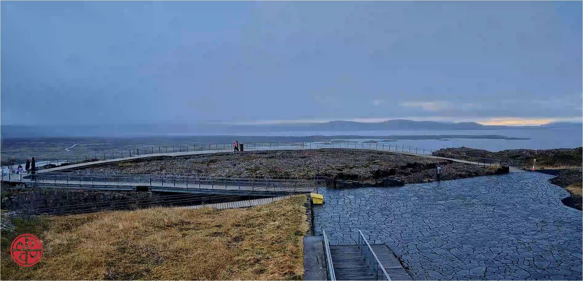
Thingvellir - Belvédère de Hakið, faille d'Almannagjá et lac Þingvallavatn
Southern Region, Iceland — 0.1 km
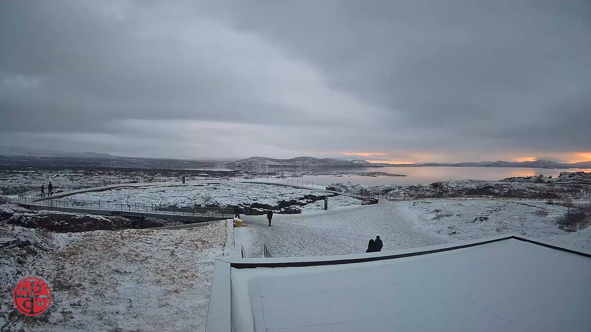
🇮🇸 Southern Region · Iceland — Altitude 118 m
This live camera looks out over Thingvellir, the national park in southwest Iceland where the rift between the North American and Eurasian plates is visible on land. Many visitors watch it to judge conditions before a trip or to see the park's changing light and weather from afar.
Thingvellir sits in a lava plain on the Reykjanes rift zone, where the tectonic plates slowly move apart. The park is known for its steep fault walls, the Almannagjá gorge and the large lake Þingvallavatn. It was the site of Iceland's medieval assembly, the Alþingi, and is recognised as a UNESCO World Heritage Site. The scenery is low, open and often wind-swept, with moss-covered lava and the lake framed by distant hills.
The view is most rewarding in clear morning or evening light, when the cliffs and water show their colours. Weather changes quickly here, so fog, rain and passing clouds can alter the scene within minutes. Winter brings snow across the plain and the chance of northern lights on dark nights, depending on cloud cover. Check the live view before deciding when to head out.
Summers are cool and the best season for walking the trails, typically from June to August, while winters are cold and icy. Thingvellir lies about an hour's drive east of Reykjavík along the Golden Circle route. Nearby cameras on this site show the Hvalfjörður port at Grundartangi and the Kleppsbakki view in Reykjavík, which help you compare conditions across the region.
Source: Thingvellir webcam
Southern Region, Iceland — 0.1 km
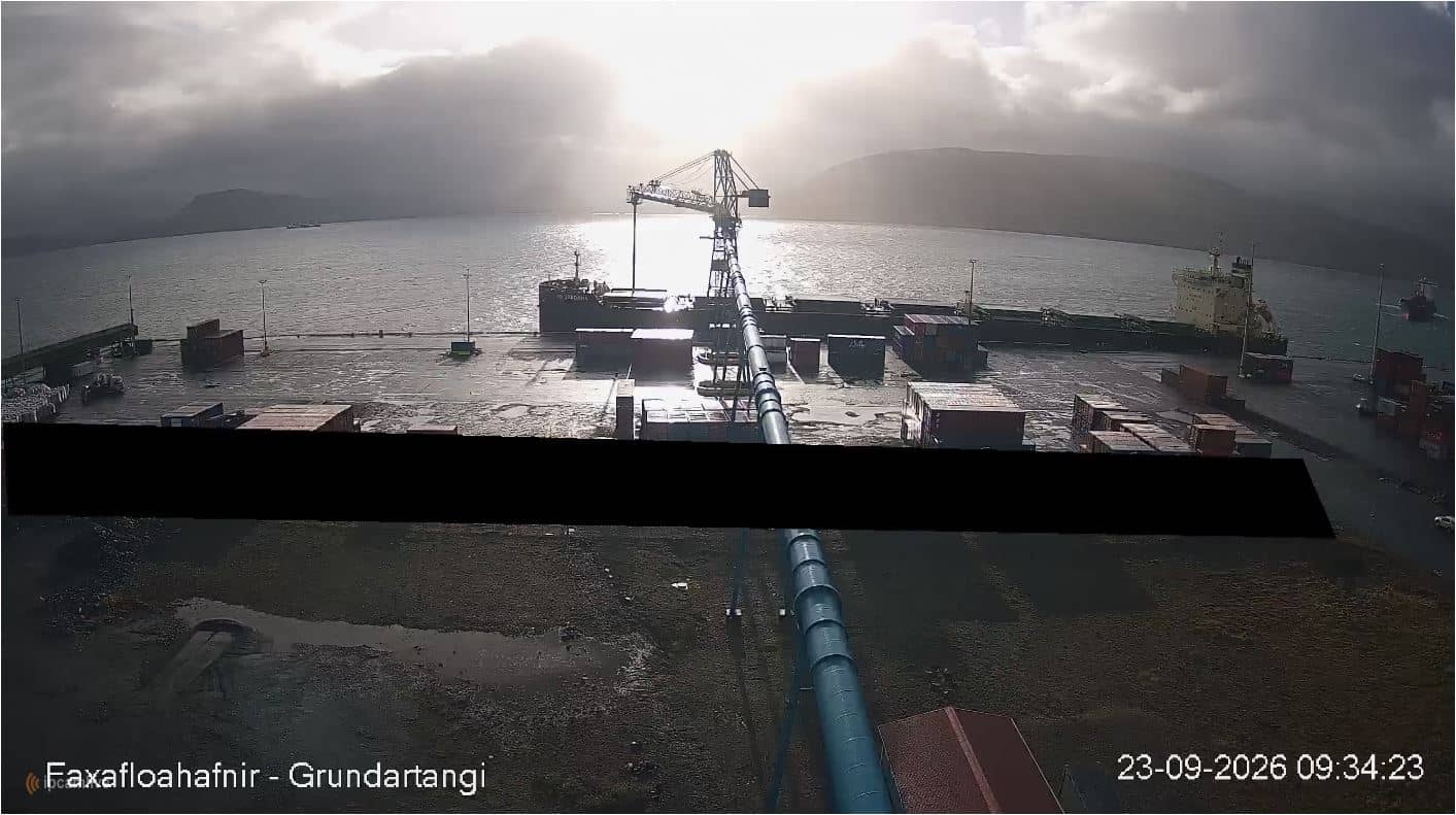
Western Iceland, Iceland — 33 km

Southern Region, Iceland — 36 km
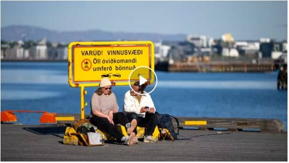
Capital Region, Iceland — 37 km
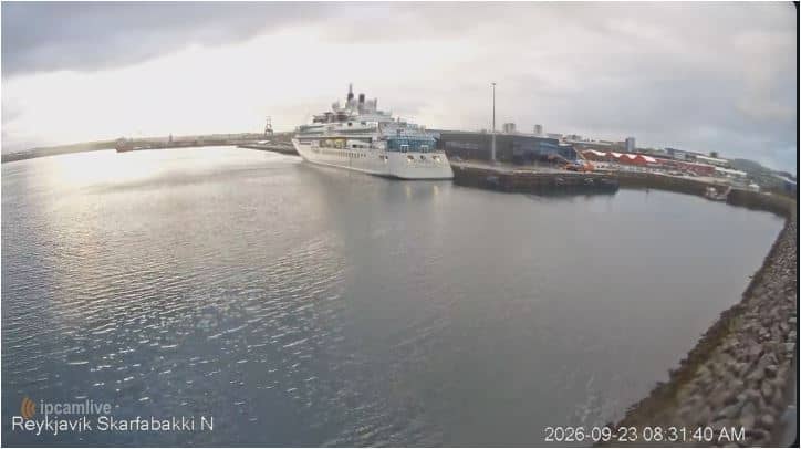
Capital Region, Iceland — 37 km
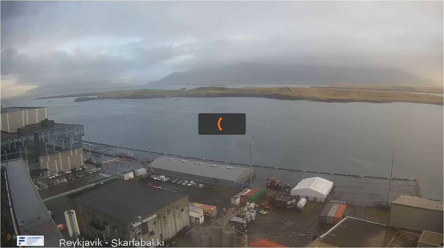
Capital Region, Iceland — 37 km
Capital Region, Iceland — 38 km

Capital Region, Iceland — 39 km

Capital Region, Iceland — 39 km

Capital Region, Iceland — 39 km
The current conditions and a three-day forecast are shown in the weather block on this page. Wind and cloud can change quickly across the open plain, so check it before you travel.
The local time is displayed on this page and updates with the camera. Iceland uses one time zone all year and does not change its clocks for daylight saving.
The camera is in Thingvellir National Park in southwest Iceland, at about 118 metres above sea level. The map on this page marks its exact position within the park.
Clear mornings and evenings in summer offer the best light on the cliffs and lake. In winter, dark clear nights can bring a chance of northern lights, though cloud often limits visibility.
Partner links: we may earn a commission at no extra cost to you.